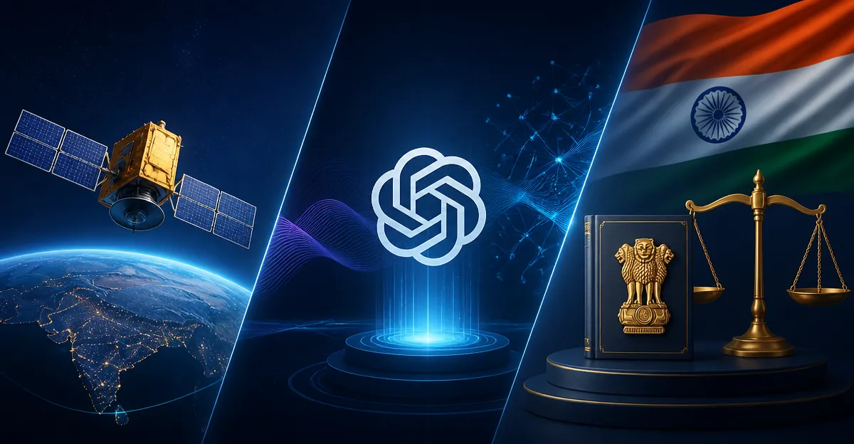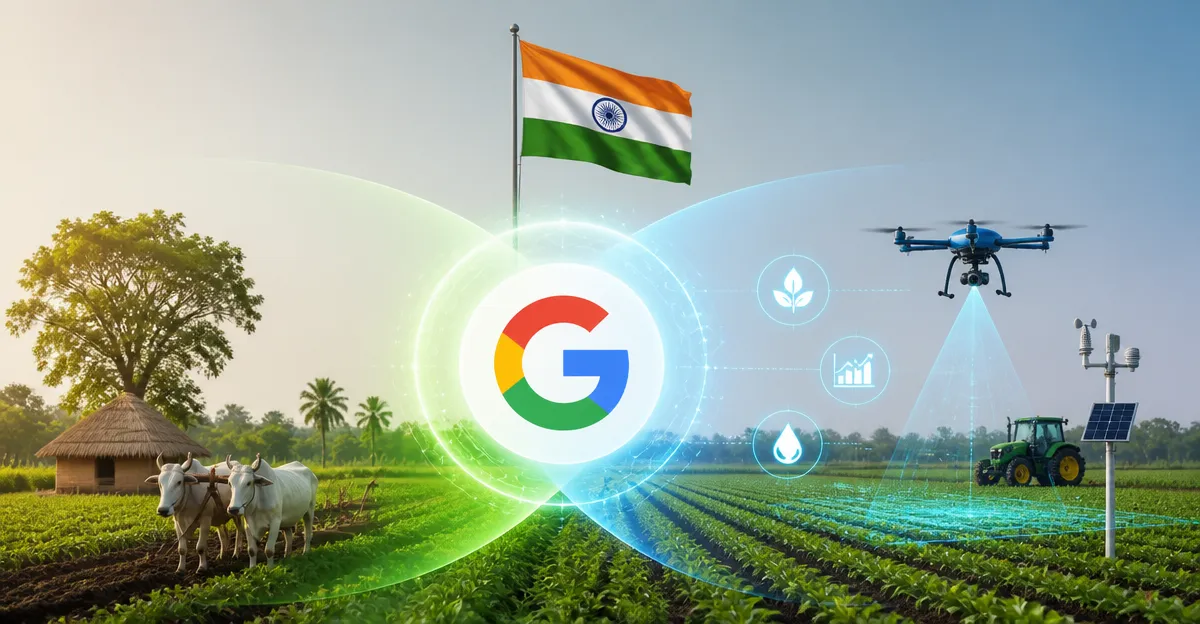
September 6, 2026, (Inside AI) — Google DeepMind has built two AI models that map every farm in India, down to individual fields, using 15 years of satellite imagery. The system updates crop data every 15 days, far faster than any public agricultural dataset available today.
The models, part of the AnthroKrishi project, segment fields, trees, and water bodies, then track 12 major crops from sowing to harvest. The data is free, accessible via APIs and Google Earth, and now serves 11 countries across Asia Pacific and Africa.
Alok Talekar, lead for agriculture and sustainability research at Google DeepMind, says the goal is not to replace traditional farming but to give farmers and governments better information. He argues that India’s agricultural data gap has long forced decisions at the district level, not the farm level.
“Historical government records and policies are always designed at the district level. They are never designed for the individual farmer — to what this particular farmer needs, whether it is a particular fertiliser or something else. Being very precise, targeted, and pinpointed has not been possible due to technological gaps. So, the kind of technology our team and I are building enables that. It makes things far more cost-effective.” Alok Talekar, lead for agriculture and sustainability research, Google DeepMind
The system’s first layer uses 15 years of satellite imagery, refreshed every 6 to 12 months, to map field boundaries, trees, and water bodies. The second layer tracks crop types and growth stages, refreshed twice a month. That near-real-time view is unusual. The closest public comparison, the US Department of Agriculture’s Cropland Data Layer, typically releases data a year after the season ends.
“The sort of capabilities that we have built in India, for India, don’t exist anywhere else. I can tell you that no country has this today and all of this is freely available and accessible to partners. The closest example is probably the US Department of Agriculture, but it provides this data a year after the agricultural season is over, as a post-facto analysis. In contrast, we are able to provide this data in-season. As the agricultural season is ongoing, we refresh the data every 15 days.” Alok Talekar
Why Farm-Level Data Changes the Power Balance
Manual agricultural surveys have long favored large landowners. Talekar says the new models avoid that bias. Every farm gets the same meter-scale resolution, whether it is one hectare or one hundred.
“With our datasets and capabilities, we treat every farm equally. We have metre-scale resolution, so we can identify both the smallest and largest farms with equal precision. We can therefore provide this data to partners, governments, and others. They are then able to equitably provide solutions and services to farmers irrespective of whether they are smallholders or largeholders.” Alok Talekar
That equity matters in a country where roughly 50 percent of the population depends on agriculture. Smallholder farmers often lack access to formal credit, insurance, and targeted advice. Better data could change that. Terrastack, an IIT Bombay startup, is already using the data to digitize land records and help farmers access formal credit. CarbonFarm, a France-based company, uses it to monitor flooded rice fields and issue carbon credits in Andhra Pradesh.
Talekar says the data contains no personal information. No names, no phone numbers. It is built purely from satellite imagery and location coordinates. Partners combine that with government ownership records to build useful services.
Traditional Methods Are Not the Enemy
Talekar rejects the idea that AI and traditional farming are in conflict. He frames the technology as a neutral information layer, not a decision-maker.
“I think what we are building is not opposed to traditional practices in any way. Our main role here is to provide information. We are not trying to influence actions one way or the other; we want to support effective decision-making. Whatever decisions people want to make should be data-driven. We want to push in that direction because that is, in a sense, the most efficient way for governance to work.” Alok Talekar
But he also notes that some traditional practices cause harm. Flooding rice fields, for example, wastes water and can contribute to long-term desertification. Data can help farmers see those trade-offs clearly.
Challenges remain. Data quality is uneven. Many farmers lack technological awareness. Talekar says his team tries to provide visual layers, not just APIs, so users can inspect the data manually. The models are now integrated into Telangana’s Agriculture Data Exchange platform, which serves more than 5 million farmers. Karnataka’s Water Resources Department uses the data for dynamic water management across 2.6 million hectares of irrigated land.
Talekar draws a parallel to India’s digital payments leap. He expects agriculture to follow a similar path, skipping generations of slower technology adoption. The question is whether the ecosystem, governments, private companies, and non-profits, can turn free data into real services for farmers who need it most.